Research 387: GRACE Monitoring of Groundwater over Ireland – A Feasibility Study
Authors: Michael Geever, Eve Daly and Aaron Golden
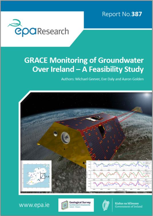
Summary: Changing population trends, growing urbanisation and associated economic development increase pressure on our water resources. This project investigates the feasibility of using space-based observations of gravitational anomalies, obtained by NASA’s Gravity Recovery and Climate Experiment (GRACE), to assess groundwater variations at a regional level across the island of Ireland. The report fully documents ways of accessing, processing and visualising GRACE gravitational anomaly data, and outlines a means to integrate data from NASA’s land surface model with data from the EPA’s HydroNet groundwater well network.
Project Highlights
Watch the project highlights video
Identifying Pressures
Changing population trends, growing urbanisation and associated economic development increase pressure on our water resources. In the context of national and EU legislation, attention must now focus on the availability and long-term sustainability of water resources given changing precipitation patterns associated with climate change. This project attempts to assess the value of using space-based observations of gravitational anomalies, obtained by NASA’s Gravity Recovery and Climate Experiment (GRACE), to assess groundwater variations at a regional level across the island of Ireland. The most widely used land surface model of surface moisture was used along with data from the EPA’s HydroNet groundwater well network. This report highlights the correlation between GRACE estimates of groundwater variations and in situ observations over an 18-year period. The long-term trend suggests consistent and sustained recharging of local groundwater resources across the island with no evidence of abstraction stress on groundwater supplies at a regional level or on abstraction rates. Further work to determine the resilience of local supplies in the event of significant increases in demand due to future industrial development and/or population growth is warranted. The report also identifies an opportunity for the development of a national land surface model, to more accurately capture the island’s complex hydrogeological environment and provide a baseline for policy implementation and planning.
Informing Policy
Given current and projected demands based on Ireland’s projected population growth, ongoing economic development and changing agricultural practices, a comprehensive means of monitoring total groundwater storage will be invaluable for policymakers and legislators, to enable Ireland to meet its obligations under national legislation [European Communities (Water Policy) Regulations, 2003 (S.I. No. 722 of 2003); European Union (Drinking Water) Regulations 2014 (S.I. 122 of 2014); European Communities Environmental Objectives (Surface Waters) Regulations, 2009 (S.I. No. 272 of 2009); European Communities Environmental Objectives (Groundwater) Regulations, 2010 (S.I. No. 9 of 2010); European Communities (Good Agricultural Practice for Protection of Waters) Regulations, 2010 (S.I. No. 610 of 2010); European Communities (Technical Specifications for the Chemical Analysis and Monitoring of Water Status) Regulations, 2011 (S.I. No. 489 of 2011)] and EU directives [Water Framework Directive (2000/60/EC), Groundwater Directive (2006/118/EC) and Marine Strategy Framework Directive (2008/56/EC)].
Developing Solutions
This report fully documents ways of accessing, processing and visualising GRACE gravitational anomaly data, and outlines a means to integrate data from NASA’s land surface model with data from the EPA’s HydroNet groundwater well network. The GRACE mission team provides two types of gravitational anomaly data, and methods for using both types are presented in the report. The report also described how EPA HydroNet data can be utilised and compared with NASA’s GRACE and land surface model data. Given the limited resolution of the GRACE data (~110 × 70 km), solutions are presented for four pixels that capture distinct hydrogeological contexts at cardinal points in Ireland, with the resulting time series data from each resource (GRACE, NASA’s land surface model and HydroNet) available for analysis. All analysis methods were developed within the Python programming ecosystem, ensuring portability and ease of use for interested third parties.
https://www.epa.ie/media/epa-2020/research/epa-funded-research/Report-cover-387.jpg