Research 399: Mapping Green Dublin: Strategic Pathways to Community-led Greening
Authors: Alma Clavin, Niamh Moore-Cherry and Gerald Mills
Summary: Enhancing green infrastructure in densely populated centres is an important means of improving urban environments, with benefits for air and water quality, as well as biodiversity enhancement. The project Mapping Green Dublin examined the variable green cover in the Dublin City Council area. It has generated data on the city’s trees, identified those places with significant environmental deficiencies and worked with the local community to develop a greening strategy for the Dublin 8 area. Mapping Green Dublin has established a process for effective engagement with neighbourhoods that allows residents to be participants in the design of their own spaces.
Identifying Pressures
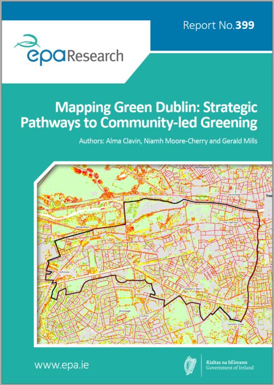
Urbanised landscapes are associated with low vegetation cover in the form of greenspaces and trees, which can regulate some of the negative aspects of urban environments, such as poor air and water quality and low biodiversity. The lack of vegetation cover is especially acute in densely occupied city centres, where much of the landscape is paved or built on. Enhancing the urban green infrastructure is an important means of improving the environment for those that work and reside in cities. The project Mapping Green Dublin examined the variable green cover in the Dublin City Council area and focused specifically on the uneven distribution of trees. A survey of all the trees in the city was completed and their environmental value was estimated. Maps of tree cover were compared with population and traffic information to identify those places with significant environmental deficiencies for further examination. Following the mapping exercise, the focus of Mapping Green Dublin moved to a neighbourhood in the south-west inner city area (Dublin 8) to address the green deficiency using a co-creation approach.
Informing Policy
It is Dublin City Council policy to enhance the green infrastructure of the city. This policy needs to be based on evidence and supported by local communities. Mapping Green Dublin has generated data on the city’s trees, which are publicly available, and established a working relationship with the local community to develop a greening strategy for the Dublin 8 study area. Actions identified were formulated following intensive collaboration organised around workshops, interactive mapping and web-based discussions. Each of these engagements was supported by scientific data, which allowed citizens to become actively involved in designing plans to improve the green infrastructure of their neighbourhood. The results of this study were presented to Dublin City Council and will contribute to the city’s next development plan.
Developing Solutions
The competing demands on space in urban environments present challenges for urban greening. Dublin’s inner city is experiencing significant development pressure as available plots are converted into high-rise apartment blocks with limited private open space. Tree planting, alongside opportunities for creating small-scale accessible and high-quality greenspaces, can address many environmental issues in crowded urban spaces. Community involvement can provide important insights into local needs and opportunities for urban greening that have widespread support. Mapping Green Dublin established a process for effective engagement with neighbourhoods that allows residents to be participants in the design of their own spaces.
https://www.epa.ie/media/epa-2020/research/epa-funded-research/Report-cover-399.jpg