Water level and flow data on HydroNet
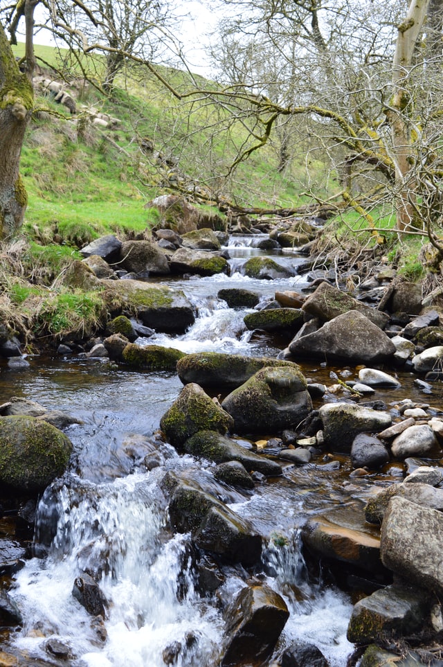
HydroNet provides access to hydrometric data for the island of Ireland. Hydrometric data is information on levels and flow of surface water (e.g. rivers) and groundwater (e.g. springs). It is collected as part of the Hydrometric Programme at over 1,000 active hydrometric stations around the country.
On HydroNet, you can view a map and download hydrometric data collected at local authority hydrometric stations and processed by the EPA. HydroNet also contains information on stations operated by other organisations with links to their hydrometric data. It includes all active and historic (or inactive) hydrometric stations.
For information on how to use the site and the types of data available, use the FAQs in HydroNet.
Use of the hydrometric data on HydroNet is subject to conditions of use. Please read the disclaimer.
Please note that, on occasion, the data for a hydrometric station may be temporarily unavailable or incorrect. This can be caused by a failure in equipment, communications network or the computer systems that process the data. We do our best to resolve these issues as quickly as possible.
River flow statistics
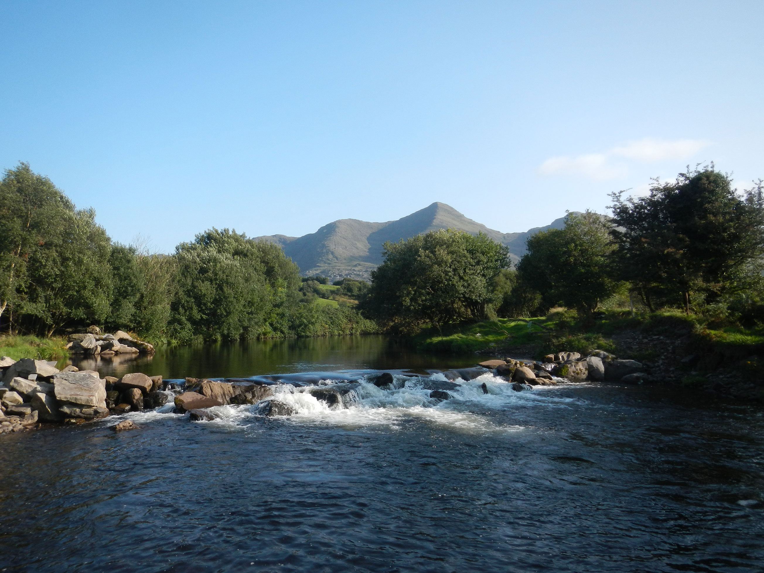
We use water and flow data to derive statistical information on our Irish rivers. Statistical information includes flow duration percentiles; for example, the Q95 is the flow equal or exceeded for 95% of the flow record for a river.
These river flow statistics represent flows that could be expected in rivers under naturalised conditions. They do not take account of artificial influences, such as water supply abstractions or wastewater discharges.
For rivers with no hydrometric stations, a model is used to estimate the river flows. This model is known as Qube, which used to be called Hydrotool. It uses measured hydrometric data from similar type catchments (comparable in terms of size, rainfall, topography, soils and subsoils to determine the most likely flows in these rivers.
You can view and download naturalised river flow duration percentiles from Water EPA Maps.
You can find more information on how to view or download the river flow estimates, in this guidance document.
Access our Water Level and Flow Online Tools
HydroNet website
The EPA HydroNet site provides you with access to summary surface water hydrometric data and groundwater level data that has been collected at the network of Local Authorities' hydrometric stations and processed by the Environmental Protection Agency (EPA). The site also contains station information and data links for hydrometric stations contained in the National hydrometric register but operated by organisations other than the EPA.
EPA Water Maps
EPA Water Maps is designed to make data about the water environment easier to find, browse and understand. You can view and download naturalised river flow duration percentiles here.