Monitoring and Mapping Projects
National Biodiversity Data Centre
|
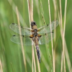
Dragonfly Ireland 2019-2024 is an all-Ireland survey run jointly by the National Biodiversity Data Centre and the Centre for Environmental Data and Recording in Northern Ireland and is a citizen science project funded by the Environmental Protection Agency. The Survey’s Goals include:
All data collected is freely available on the NBDC website and we encourage your participation. |
|
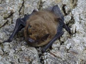
Bat Conservation Ireland runs several citizen science initiatives:
|
|
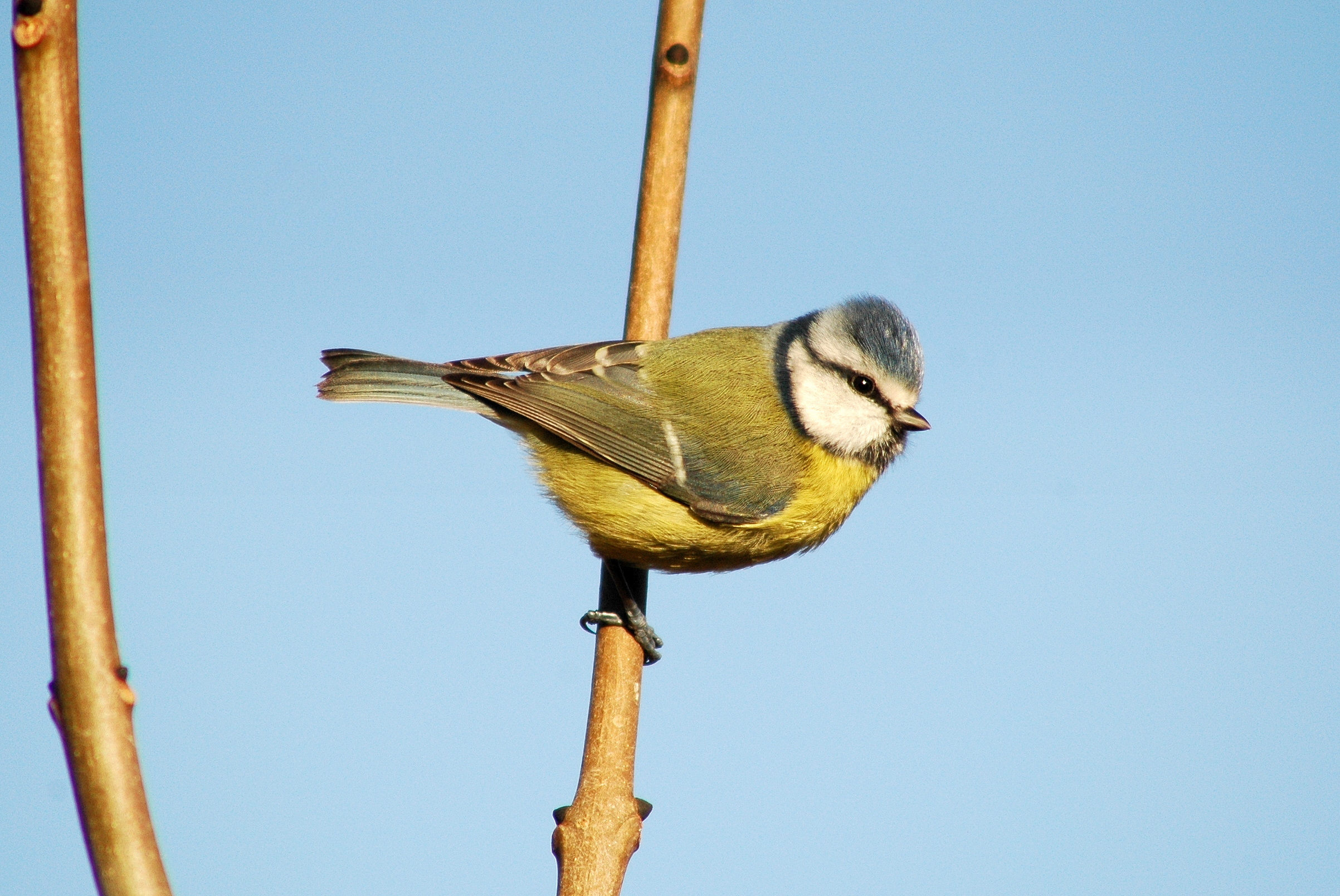
BirdWatch Ireland runs many surveys which increase our knowledge of birds, their populations and their changing needs. The valuable data collected by dedicated BirdWatch Ireland citizen scientists provides us with one of the largest and longest running biodiversity datasets collected in Ireland. BirdWatch Ireland have a range of bird surveys, suitable for all ages, from complete beginners to the most experienced birdwatchers – so please get involved! |
|
The Geological Survey Ireland (GSI) runs a number of citizen science initiatives: The LiDAR public feature identification enables the public to help in the identification of karst and archaeological features from the LiDAR web viewer. Verified archaeological sites are added to the Sites and Monuments Record on www.archaeology.ie. The GSI is also responsible for maintaining the National Landslides Database. To date, over 2,500 landslide events have been mapped and these underpin the National Landslide Susceptibility Map. If you have information on a landslide you can submit this to the GSI, they would be delighted to hear from you! |

|
The Irish Whale and Dolphin Group established whale and dolphin recording schemes throughout Ireland in 1991 with the help of citizen scientists.
Records can be seen on the Irish Whale and Dolphin Group website here. There are also training courses, other resources and weekend whale-watching opportunities available for those interested in getting involved. |
|
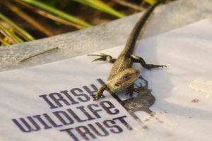
The Irish Wildlife Trust runs citizen science projects to monitor the distribution of a range of Irish species. These projects combine elements of awareness raising, training and species surveying and are open for all to take part in. Currently, the Irish Wildlife Trust is running |