Spatial planning
Spatial planning strongly influences land use. Good planning decisions can incentivise more efficient resource use in the built environment and avoid the intrusion of inappropriate urban infrastructure into natural areas. Integrated spatial planning can optimise economic development opportunities, ecosystem services, reduce human exposure to environmental pressures and reduce social inequities.
The challenge is to design a future urban environment with public appeal while meeting the needs of the population. The importance of clean and well-protected “green” and “blue spaces” such as parks, ponds and wild areas in the urban landscape is now recognised as a key part of urban landscapes that are needed for healthy communities.
Land cover mapping
To date, Ireland has depended on CORINE land cover data to provide general detail on quantifying the land cover types and their national trends over time. Developed in Ireland by the EPA as part of the Copernicus Land Monitoring Service, operated by the European Environment Agency, CORINE maps have a low level of detail and generalise small land cover features into dominant land cover types. For example, small forest areas, hedgerows and treelines often get generalised into general agricultural areas meaning their importance in our environment gets missed.
Therefore, there has long been a need for more detailed land cover maps in Ireland. Working over many years a national working group, of public sector organisations, aimed to address this data gap by establishing a National Land Cover Mapping Programme. Following agreement on the technical requirements, the National Mapping Division of Tailte Éireann, formerly Ordnance Survey of Ireland, developed a high- resolution land cover map in partnership with the EPA.
This map was published in March 2023 and is now available, more details can be found from Tailte Éireann or on the EPA website here.
With greatly enhanced detail the map is a new benchmark in land evidence for Ireland. It will facilitate significantly improved monitoring and assessment of impacts and benefits for water, climate, air, noise and biodiversity, as well delivering support for better decision making on land management.
Irish soil information system
One area which has seen significant improvement has been the establishment of a national soil map as part of the EPA-funded Irish Soil Information System Project in 2014. The overall objective of this project was to assess the national distribution of soil types and prepare a national soil map that would identify and classify soils using a consistent national classification. See the soils map of Ireland.
In addition to the map, a collection of tools to access and interact with the soils data were developed. The various soil types have been assessed taking into account their environmental and agronomic responses. This should assist soils management planning and related policy implementation.
National landscape strategy
The European Landscape Convention (ELC) seeks to strike a balance between management planning and landscape protection. In Ireland, this is being provided for through the Planning and Development Act Regulations 2000-2010 and Local Government Reform Act 2014. The National Landscape Strategy (NLS) also seeks to ensure that Ireland complies with the ELC by establishing principles for protecting and enhancing the landscape while positively managing changes.
Since 2018, Ordnance Survey Ireland has been developing a high-resolution map in partnership with the EPA. By integrating sectoral data, we should get a much more consistent picture of national land cover and land use. The EPA also aims to develop a national land use map for assist in reporting under the LULUCF Regulations (Regulation (EU) 841/2018). This will be directly related to the outputs of the national land cover mapping programme. High resolution data, at a minimum of land parcel scale, will provide detailed information on the status of land. It will be the basis for assessing past and future changes and will allow detailed environmental assessments and research.
National peatlands strategy
The National Peatlands Strategy sets out the actions required and partners responsible for its management and implementation. Bord Na Mona (one of the Strategy’s partners), report having restored over 1200 ha of raised bog at 12 different sites, including areas which had not been fully brought into peat production.
In 2016, Bord Na Mona also launched their Biodiversity Action Plan 2016-2021, to support ongoing restoration, rehabilitation and management activities. They review this plan’s progress every year. The 2018 review reported progress in rehabilitating former peat production areas, with 15,000 hectares having been rehabilitated with a further 1,250 hectares in progress of rehabilitation.
Agriculture
Food Wise 2025 includes many sustainability-related actions to improve the environmental footprint of the agriculture sector. By fully implementing the environmental-related elements of Ireland’s National Rural Development Programme 2014‑2020, adverse environmental effects (including on soils, water quality, etc.) can be minimised.
The EU Common Agricultural Policy and schemes such as Agri-Environmental Option Schemes, for example, encourage farming practices that maintain soil fertility and levels of organic matter. Teagasc’s SQUARE project continues to develop and refine its toolbox for farmers to assess soils and the impacts of soil degradation. Teagasc recommends that soil-specific management measures based on soil type are needed, so that suitable nutrient management options are used for that soil type. Teagasc have also published a soil management manual to assist farmers in this regard.
The DANÚ Farming Group, a European Innovation Partnership project (EIP Agri) funded by the Department of Agriculture, Food and the Marine, combines the best practices of conventional and organic farming.
River catchment-based flood risk assessment and management
The incidents of widespread flooding, such as along parts of the Shannon catchment in 2015, highlighted the severe impacts on local communities and business. This highlighted the need for a wider debate and a national solution to managing flood risks in catchments and managing land use in areas at risk of significant flooding.
The national Catchment-based Flood Risk Assessment and Management (CFRAM) programme, in its first cycle, assessed the existing flood risk of inland water courses and coastlines in Ireland and consider flood alleviation options. The programme is also considered the potential for significant increases in flood risk arising from climate change, ongoing development and other pressures that may arise in the future. The CFRAM programme is the vehicle for delivering on the main requirements of the European Floods Directive. This directive applies to inland waters as well as coastal waters.
EPA Research Programme
EPA Research 2030 is a 10-year high-level research programming framework and funding will be allocated under four interconnected research hubs. From 2021, land & soil-related research will be principally funded under the EPA Research 2030 Research Hub on Protecting and Restoring our Natural Environment - Our natural environment provides us with clean air and water, food and the raw materials to sustain us and our economy. Research is required to inform and support a cross-sectoral approach to managing our natural environment and for the development of policies relating to the regulation of emissions and activities, and the protection of our water, land and ecosystems.
Previously, under its EPA Research Programme 2014-2020, the EPA funded research in the Land & Soil area under its Sustainability Pillar Theme Natural Capital and Ecosystem services including soils and biodiversity.
Details of the latest EPA Funding Research Opportunities and Awards are available from here.
EPA-funded Research Projects
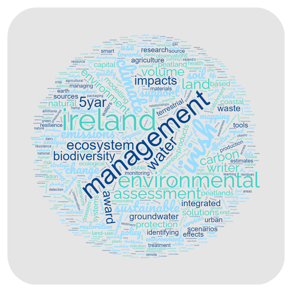
Since 2014, the EPA funded more than 120 research projects (as of March 2023) relevant to Land & Soil, corresponding to a commitment of c. €17 million.
Some of the ongoing research funded by the EPA investigates:
• Hazardous chemicals in soils and sediments.
• Landscape character assessment.
• Re-wetting of peatlands.
• Land integrated modelling for net zero emissions.
• Soil biodiversity.
• Ammonia Impact Reduction on Natura 2000 sites.
• Microbial and Metabolite-based indicators for soil health.
For more details regarding the EPA-funded projects, please go to our Public Searchable Projects Database.
EPA Research Publications
To date, 50 EPA Research Reports have been published in relation to Land & Soil (as of March 2023).